|
|
 |
|
Oceanographic measurement devices
At the Research Institute Senckenberg are two RDI systems available:
Pulse Coherent-Acoustic Doppler Profiler (PC-ADP) This is an ADCP of Sontek in Norway therefor the different name. Using a pulse coherent signal generation and registration technic the depth resolution is even more increased. At the moment this instruments is deployed for estimating the tidal currents in the surrounding of mud retention pits sited at the foot of the main dyke at water depths of about 1 m. These retention pits are constructed for decreasing the kinetic energy at the foot of the dyke and creating depostion room for fine-grained sediments.In the near future the PC-ADP will be mounted in addition to the Workhorse ADCP at the measurement station for surveying the bottom currents.
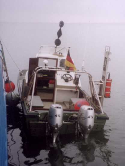
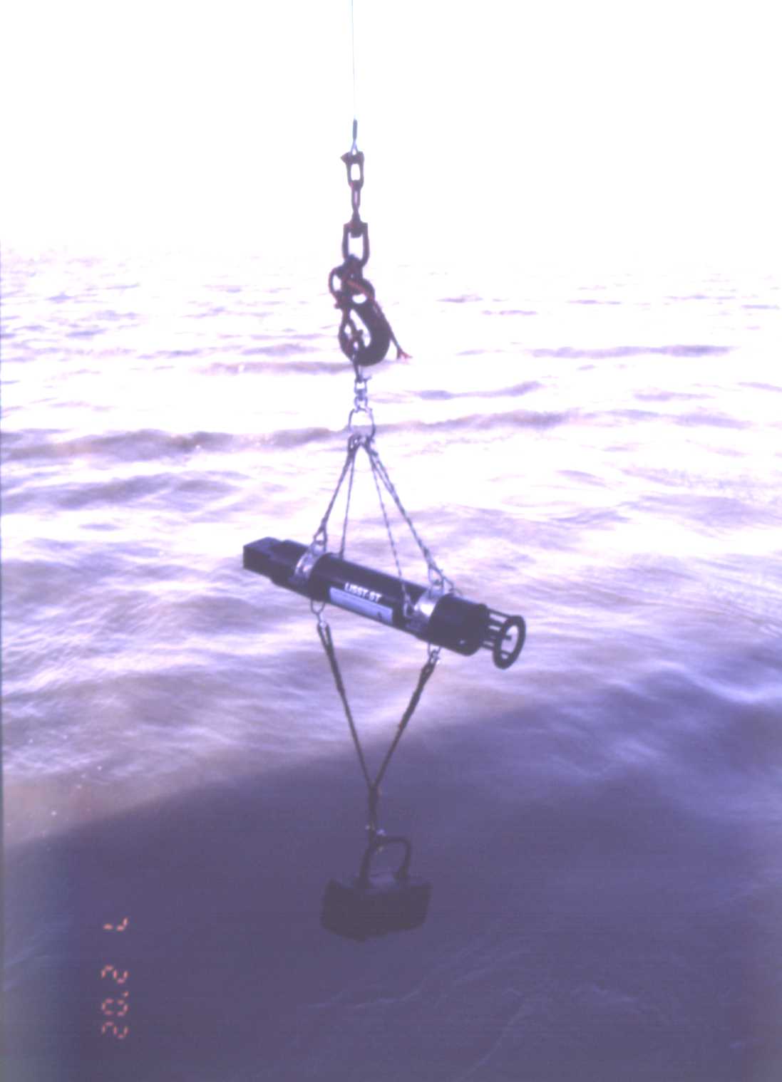
The LISST is deployed during the day in hourly depth profiles and during night as longtime measurements in 1 m water depth directly from the FK Senckenberg. Additionally the LISST is used parallel to the PC-ADP during the measurements in the mud retention pit environment.
For calibration purposes and additional data to the above instruments we are using a CTD for estimating salinity using the water conductivity, waater temperature, water depth and optical turbidity.
Pump centrifuge Collecting suspended sediment is essential for the calibration. For eliminating short-time variations we are using a pump centrifuge system for extracting the sediment from up to 300 l of sea water. The so derived single grain size distributions are compared to in-situ particle sizes obtained by the LISST.
Instrument jib for station
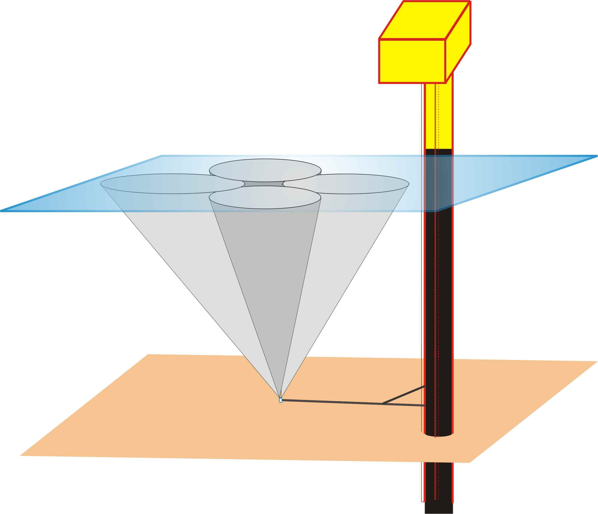
F or es ti m at in g th e w a ve fi el d th e sy st e m sh o ul d b e m o u nt e d in u p w ar d-looking position and it should be avoided that the acoustic beams are disturbed by the station itself. Therefor we needed a system placement 8m apart the station but with a permanent cable connection for communication and power supply. The strong bottom sediment transport due to the tidal currents forced us to develop an 8m long jib. This jib is attached to the station nearly 2m above the sediment surface and supported at the end and half way by rods. This jib is at the moment equiped with the WH-ADCP and prepared for the PC-ADP and the LISST. Whereas the PC-ADP will be used for surveying the bottom boundary layer and the evolution of surface structures and the LISST for long-term measurements of suspended sediment concentration and in-situ floc sizes.
Tripod for PC-ADP
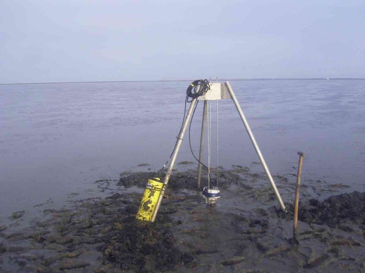
I developed a tripod supporting 3 thin vertical rods. On these rods the floating PC-ADP mooring slips up and down regarding the water depth. The friction on these rods suppresses too strong oscillations of the device for giving accurate measurements of tidal currents.
At the university I had the chance to work with systems from ESRI and ArcView but here at the institute we have no access to a GIS. During my humanitarian aid project with the THW for the UNHCR in eastern Chad I used a GIS for the localisation and planning of the refuge camp. GPS coordinates were used for localising possible construction sites.
Corel Draw I use this vector based graphic programme for creating objects from little sketches to maps and thematic posters. Due to the lack of CAD-system at the institute I also used Corel Draw for the development of moorings. Matlab This mathematical programming tool was used for designing routines for data processing. Webdesign For the purposes of webdesign, like this site, I used a viarity of programming tools down to pure HTML code.
|
|||
|
[Home] [Geology] [Projects] [Marine Geology] [Previous] [Instrumentation] [Publications] [Relief] [Contact] |
|||
|
[Home] |
|||
|
Olaf Joerdel, 2002-2006 |
|||
 This acoustic current meter is using the doppler effect for estimating the current velocity and direction in discrete depth cells over the whole water column. The intensity of the backscatter signal can be used for the calculation of suspended sediment concentration.
 This optical instrument of Sequoia Scientific uses the effect of diffraction of laser beams on small particles for estimating particle sizes of suspended sediment particles. These are forming in salt water and due to glueing effects of biopolymers larger flocs. The hydrodynamic behaviour of these flocs is strongly different from the contained single particles. Therefor measuring the in-situ particle sizes is essential for understanding the processes involved in transport of suspended sediment in the tidal basin.
 F or th e d e pl o y m e nt of th e W H- A D C P at th e m ea su re m e nt s st at io n at th e O tz u m In le t w e d ev el o p e d a sp ec ia l
  Surveying the tidal currents on the tidal flats with the only downward-looking PC-ADP needed either a compromise in surveyable water depth or as realized here a mooring which changes its elevation above ground following the water surface.